TransPennine Express advises passengers to stay home as Storm Boelo approaches
The Met Office issued amber warnings for northern regions, citing risks from 80mph gusts and a potential repeat of the 31,000 home power outage seen in the southwest.
By Olga Kaur ·
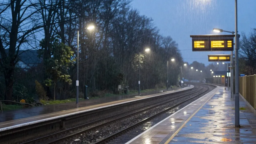
Storm Boelo, the second named storm of the season, is set to impact northern Britain this weekend with winds that may exceed 80mph. The weather system arrives immediately after Storm Austen, which struck the southwest of England on Friday and is currently clearing eastward. As Boelo moves in, the Met Office has issued an amber warning, its second most severe level, for Scotland and the north of England down to Carlisle. This alert runs from 9pm on Saturday to the same time on Sunday. A separate amber warning covers the northeast of Northern Ireland from 9pm Saturday to 10am Sunday.
Travel operators are preparing for widespread disruption. TransPennine Express has advised passengers to avoid all but essential journeys on Saturday and Sunday. Avanti West Coast has strongly urged travelers not to head north of Preston on Sunday. Ferries are also expected to face delays. The Met Office has cautioned that the power cuts seen in the southwest could be repeated across the amber areas in the north. At one point on Friday, 31,000 homes in the southwest were without electricity. According to National Grid data, more than 3,700 households remained affected on Saturday morning.
Met Office meteorologist Alex Burkill identified the winds as the primary concern. He noted that gusty winds would whip across Northern Ireland, northern England, and Scotland throughout the day. Burkill added that these winds would strengthen toward the evening. He described the conditions as "pretty unpleasant," noting that while temperatures would be slightly above the seasonal average, the wind and rain would create a stark contrast to the season so far.
The storm is expected to peak in intensity from Saturday evening. While wet weather should clear overnight in many areas, rain will continue to affect Scotland and Northern Ireland. A large yellow warning for very wet and windy conditions covers the entire north of the UK from midday Saturday to 9pm Sunday. An additional warning for heavy rain applies to Wales and parts of western and southern England from 11am to 11pm on Saturday.
This weather event follows a year of extreme conditions in the UK. The country experienced its hottest summer on record this year, with five heatwaves and a record 40 days above 30C. At a summit on the summer's record wildfires on Friday, Prime Minister Andy Burnham warned that the UK could face "a winter of greater flooding." He denied that the government was playing catch-up on civil preparedness. However, he stated, "we're living in a world where unexpected events seem to be becoming more and more common."
The Met Office urged people to stay indoors as much as possible during the amber warning period. The agency cited a danger to life from flying debris and crashing waves. The forecast indicates that the heavy, frequent showers associated with Boelo will target northern parts of the UK. This marks the second severe weather event of the season, following the recent impact of Storm Austen.
Source: The Guardian