Southern Colorado faces 15 degree drop and 0.75 inches of rain as cold front arrives
Gusts up to 45 mph and below-average temperatures are expected to sweep through the region early Saturday, following a week of above-average warmth.
By Olga Kaur ·
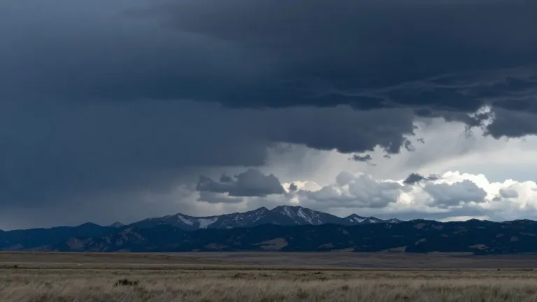
After a stretch of temperatures above seasonal norms, a sharp shift in weather patterns is set to impact southern Colorado early Saturday. The incoming system will lower high temperatures by 10 to 15 degrees and drive strong winds across the region.
The cold front is scheduled to cross the state early Saturday. This change will push temperatures below average and bring a new push of tropical moisture from the west. Forecasters predict total rainfall accumulations will range from 0.10 inches to 0.75 inches across the area.
Wind conditions will intensify as the front moves through. Gusts of 40 to 45 mph are expected to persist from Friday into the weekend. The strongest winds will accompany the temperature drop, signaling a move away from the recent warm pattern that kept highs in the 70s and 80s.
Conditions on Friday show a transition period. Colorado Springs will see a high of 73, while Pueblo is forecast to reach 81. These temperatures remain warmer than average. However, showers will become more frequent through the evening as the front approaches. Canon City will hit 75, with a brief lull in moisture expected in the afternoon before the rain returns.
Hazardous conditions are already present in the western part of the state. The San Juan Mountains and the southwestern corner continue to experience heavy rainfall. Flood watches, severe thunderstorm watches, and specific flood warnings remain in effect in these areas. The risk of flooding and mudslides persists through Friday and into the weekend.
Snow levels are expected to drop once the cold front passes. This change may bring cold rain and potentially some snow to higher elevations. The plains, which saw a low of 60 and high of 83 on Friday, could receive substantial rainfall as temperatures fall and strong winds set in over the weekend.
The extended outlook indicates a dry period for the following week. Temperatures are expected to return to more seasonal levels after the front clears the region. The immediate focus remains on the Saturday transition, where the combination of wind, rain, and a rapid temperature drop will define the weekend weather.
Source: KOAA News5
More News · Colorado Springs news · Report a business · Got a Story?