Tesla Adopts Fleet-Based Mapping to Address FSD Navigation Flaws
After years of rejecting the need for detailed cartography, Tesla is now developing an AI-driven mapping system to improve speed limit recognition and routing accuracy for its autonomous driving software.
By Olga Kaur ·
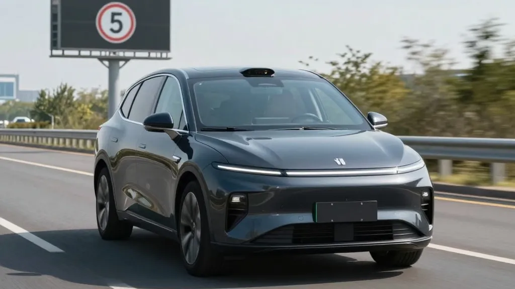
Tesla is currently in the process of building a proprietary mapping system designed to resolve persistent issues with its Full Self-Driving software, specifically regarding speed limit interpretation, parking maneuvers, and route selection. This development was detailed by the company’s head of AI, Ashok Elluswamy, during the Q3 2026 earnings call. The initiative represents a significant strategic pivot for the automaker, which has historically argued that reliance on pre-mapped data creates fragility in autonomous systems. Instead of continuing to depend on third-party cartographers, Tesla is now leveraging its global fleet to generate the environmental data necessary for its vehicles to navigate complex scenarios more reliably.
The decision follows direct feedback from shareholders who expressed concern over the performance of the current navigation stack. During a question and answer segment, a retail investor noted that mapping remains a critical weakness for the FSD system. The investor specifically cited difficulties with reading speed limits, finding parking, and selecting standard routes as the most common complaints. Elluswamy agreed with the assessment, stating that the company should not rely on external entities for map data. He confirmed that Tesla is developing a new architecture that uses artificial intelligence to process fleet data, creating a dynamic map that also learns individual driver preferences and responds to voice commands.
The rollout of this new technology will be phased. The system is expected to begin managing the start and end points of trips with the release of FSD version 15. Over the subsequent months, the proprietary map is slated to take over broader navigation functions, as well as destination handling and parking logic. This gradual integration aims to fix the specific environmental understanding failures that have plagued the vision-based system in recent months.
This shift marks a notable departure from the company’s historical stance on autonomous driving architecture. In 2015, when Autopilot was first introduced, Tesla indicated it was creating high-precision maps with significantly more granularity than standard consumer navigation. However, by the 2019 Autonomy Day, CEO Elon Musk had reversed this position. He described high-precision lane maps as a mistake that made systems brittle and called lidar a foolish errand. At the time, the clear message was that Tesla would solve driving through cameras and AI alone, without the need for the detailed cartography used by competitors like Waymo. Seven years later, the company is constructing a map layer from its own fleet to correct errors in its vision system.
It is important to distinguish this new effort from the high-definition maps Musk previously criticized. Tesla has always used standard navigation maps, and building its own does not inherently contradict earlier statements. However, the specific problems being addressed now relate to real-time environmental understanding. Speed limits, parking, and routes require the vehicle to interpret its surroundings accurately, an area where FSD has shown notable shortcomings. For instance, a Belgian road safety group recently found that the system exceeded speed limits in 55% of the 30 km/h zones it tested in Brussels. The vehicle often displayed a 50 km/h limit on its screen, leading to an average speed of 44 km/h in those restricted areas.
These reliability issues are not limited to Europe. In the United States, the National Highway Traffic Safety Administration is considering an investigation into claims that Tesla Robotaxis speed through active school zones. The inquiry covers approximately 1,000 Model Y and Cybercab vehicles. The fact that a simple road sign like a speed limit remains a challenge for an end-to-end vision system suggests that visual processing alone may not be sufficient for the level of reliability the company originally promised. A better map appears to be the practical solution to these persistent failures.
Consequently, Tesla’s approach is converging with that of its primary competitor, Waymo. Waymo maps cities by driving sensor-equipped vehicles through them before launching service and continuously updates those maps as its fleet operates. Tesla is now describing a similar model where its cars collect data to feed a central map that improves performance for the entire fleet. While Waymo vehicles utilize lidar on their roofs, Tesla is relying on its camera-based fleet to build this geographic intelligence. This method aligns with the current operational model of Tesla’s Robotaxi service, which operates within specific geofenced areas on a city-by-city basis. A fleet-built map that grows in detail over time could easily evolve into the high-precision tool the company once dismissed.
The adoption of this mapping strategy underscores the reality that all serious self-driving programs require environmental data. A map built from millions of Tesla vehicles could provide a substantial competitive advantage. If this new system successfully resolves the speed limit and routing issues, it will be a positive development for drivers sharing the road with autonomous Teslas. However, it also highlights the evolution of Tesla’s philosophy from a pure vision-based approach to a hybrid model that relies on data aggregation and cartographic support to achieve safe navigation.
Source: Electrek · original report published